Days Out in Leicestershire
Choose Your Day Out in Leicestershire


Map of Leicestershire


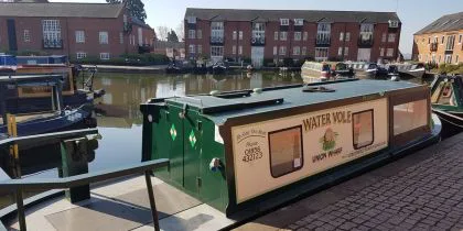
Union Wharf Narrowboats


Jump Giants


Information about Leicestershire
Uncover the treasures of Leicestershire, set against the scenic backdrop of the East Midlands, where history and leisure pursuits intertwine seamlessly. From charming market towns to historic landmarks and sprawling countryside, Leicestershire invites exploration through its diverse landscapes and engaging experiences.
The county’s history is woven into its towns and cities – the two largest towns being Loughborough and Hinkley – with the city of Leicester standing as a vibrant hub. The Leicester Cathedral, a masterpiece of Gothic architecture, and the King Richard III Visitor Centre, commemorating the life and legacy of the last Plantagenet king, showcase the city’s rich historical tapestry. Market Harborough, a charming market town, adds to the county’s allure with its quaint streets, independent shops, and historical sites.
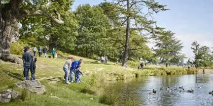
Leicestershire’s countryside is a picturesque expanse of rolling hills, lush valleys, and meandering rivers. The scenic beauty of the National Forest and the Charnwood Forest provides a tranquil backdrop for outdoor enthusiasts. Bradgate Park, with its roaming herds of deer, stands as a testament to the county’s natural splendor, offering a serene escape for walks and picnics.
Cultural richness thrives in Leicestershire, with a variety of museums, galleries, and historical sites. The National Space Centre in Leicester offers an immersive journey through space exploration, while the Bosworth Battlefield Heritage Centre provides insight into the Wars of the Roses. The Great Central Railway, a heritage steam railway, takes visitors on a nostalgic journey through the Leicestershire countryside.
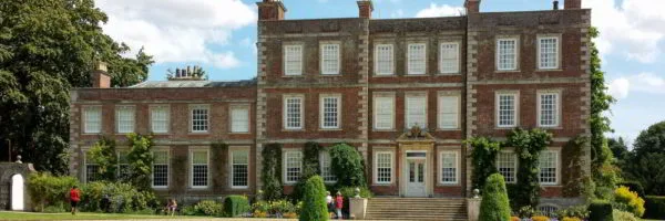
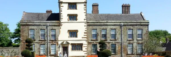
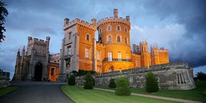
Leicestershire offers a myriad of activities for every interest. The city of Leicester boasts a vibrant shopping scene, with the Highcross Shopping Centre and Leicester Market catering to diverse tastes. Sports enthusiasts can cheer on the Leicester Tigers at Welford Road Stadium or catch a cricket match at Grace Road. For those seeking leisurely pursuits, the Leicester Botanic Garden and the picturesque Belvoir Castle provide serene environments for relaxation.
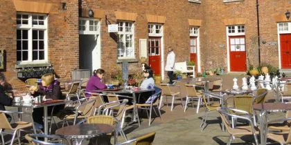
The county’s culinary scene is a delightful exploration of local produce and international flavors. From traditional pubs serving Leicester’s famed pork pies to fine dining establishments offering diverse cuisines, Leicestershire caters to a variety of palates. The Melton Mowbray Food Festival, celebrating the region’s gastronomic delights, is a highlight for food enthusiasts.
In essence, Leicestershire stands as a county that invites exploration through its rich history, diverse landscapes, and an abundance of activities. Whether delving into the cultural treasures of Leicester, traversing the scenic countryside, or savoring the culinary delights, Leicestershire ensures that there are plenty of things to do for every kind of adventurer. The county’s timeless charm and vibrant offerings make it a captivating destination for those seeking a truly enriching and diverse experience.
More Days Out in the East Midlands
If you are looking for more Days Out in the East Midlands , there is something for everyone across the region. Please click on one of the counties below: